Europe
Asia
Oceania
Americas
Africa
PHOTOGRAPHY
An institution on the ground, updating Ordnance Sur vey
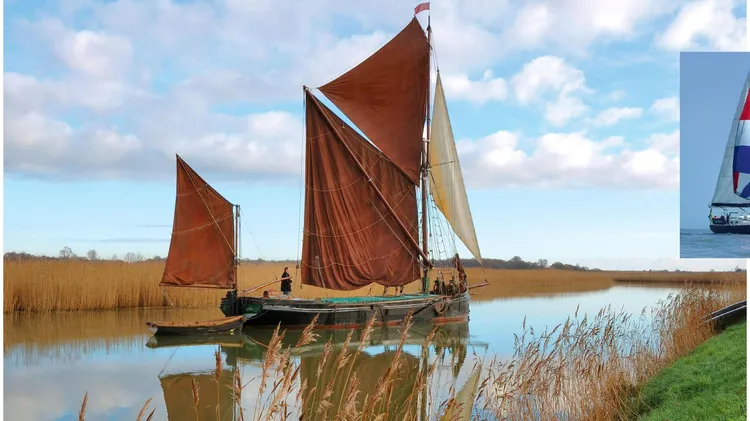
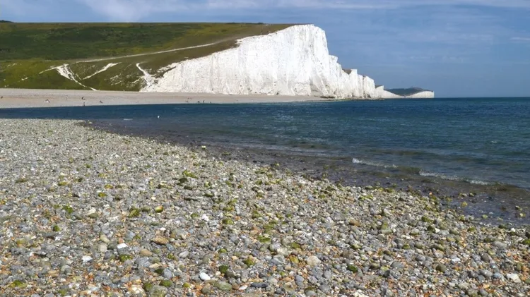
Celebrating 100 years of the BBC Shipping Forecast, Jane Russell takes us on a series of coastal cruises through the forecast sea areas, exploring some of the special places on offer in each of them
Now we’re in the depths of winter, it’s good to make plans and look forward to the return of sunny days in spring. We’re big fans of Eastbourne on the East Sussex coast, which is one of our favourite
On a leisurely weekend break, the last thing I expected to be wearing was a hard hat with a headlamp, a battery pack and a pair of wellingtons. But there I was, fully togged up – along with seven othe
In January, I make a calendar showing key dates – football fixtures, meetings of the WI, a wedding in the family – and see what gaps there may be for trips away. From that routine came a late spring b
Some final thoughts from the team at RAIL
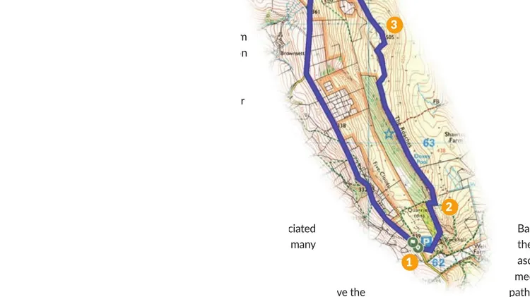
Our walks th is month 1 Quiraing Isle ...