Europe
Asia
Oceania
Americas
Africa
How did ancient cartographers calculate and draw the contours of their c
What the scientists are saying…
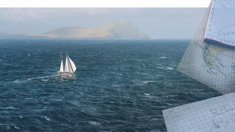
EXPLORING THE SOUTH ATLANTIC AS A CELESTIAL NAVIGATOR TURNS INTO A THREE-YEAR QUEST FOR A LITTLE-VISITED ARCHIPELAGO, BY KATE SCHNIPPERING
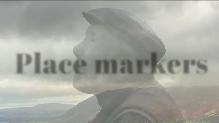
An old man lives at the bottom of my garden. His name is Robert Barkus, or Bakehouse, or Bagust. Nobody is quite sure. But I often sense him around when I’m gardening, and I’ve found out a fair bit ab
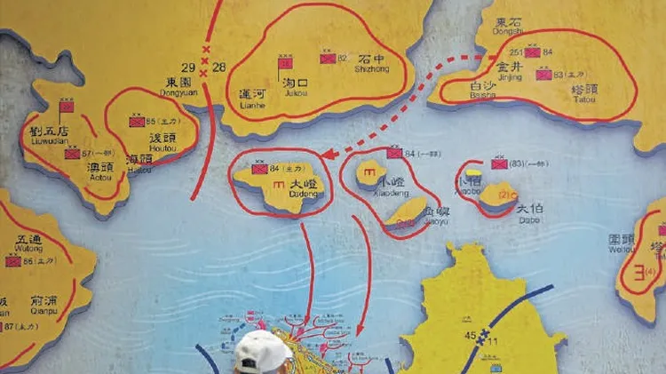
Geopolitics past and present
My motives for this trip were varied. I was on the committee that vetted applications for the Ocean Cruising Club’s Challenge Grant when Project Manaia had applied for a grant to support their environ
Did you know that Thomas Müntzer, leader of the German Peasants’ War in 1525, used a rainbow flag to rally his followers? It’s an aptly exuberant image for the radical charisma of Müntzer, and for the