Channel island tidal tactics

9 min read

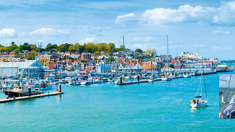
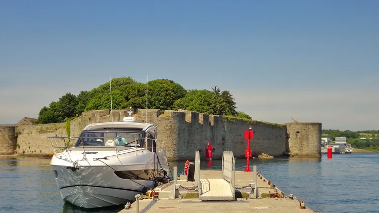
Clive Loughlin plans an adventurous holiday in the Channel Islands

Gorey Castle with Harbour, Grouville Bay calm sea and blue sky and cloud

This article is aimed at the many experienced south coast sailors, who have always wanted to go to the Channel Islands, but for one reason or another have never actually made it. It is also for those who have made the trip, perhaps many times, but who have always taken the easier options of hopping between the marinas at Cherbourg and St Peter Port.

Fortune favours the brave, and the efforts in getting there will be more than justified by the fantastic scenery and the whole-new-world that can be found there. For one thing there is something immensely satisfying about sailing around an island – and there are lots of those to choose from.

This article plans an adventurous holiday lasting between seven and nine days, with the emphasis on making full use of favourable tides, while avoiding the very unfavourable situations that can be alarming to those caught off-guard.

Tides wait for no man

Tides are always important – but tides in the Channel Islands are on steroids, and are just about double those in the Solent - expect 9m range and rates of up to 7kts at springs.

The tidal streams are so strong that in many ways they make passage planning easier because they really do define when and where it is possible to go.

The prevailing wind direction in the English Channel is between south-southwest and northwest but for this article I will assume it is from the southwest and Force 4-5. I will also assume a boat speed of 5kts, and will use BST unless otherwise noted. Timings are all with respect to HW Dover as this is the reference for most tidal stream charts in the area. I leave all the passage planning, pilotage and Customs to you for your particular adventure.

My go-to reference for tidal stream information is the UKHO publication NP 264 ‘Admiralty Tidal Stream Atlas – The Channel Islands and adjacent coast of France’ which gives large-scale hourly snapshots of the tidal streams. Much the same information is in the Almanac, but in smaller diagrams.

Reeds Almanac also provides essential data on tidal times and heights and port entry considerations, and I would not dream of sailing in these waters without reference to the various pilot guides for detail on pilotage and passage planning. I like to use the free Navionics online app (webapp.navionics. com) when planning passages as I can then see everything on my

This article is from...

Related Articles

Related Articles