The Motorhomers’ Magazine – MMM
España inesperado
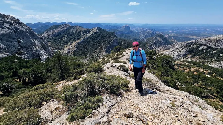
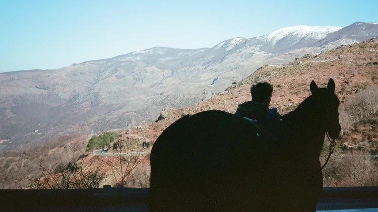
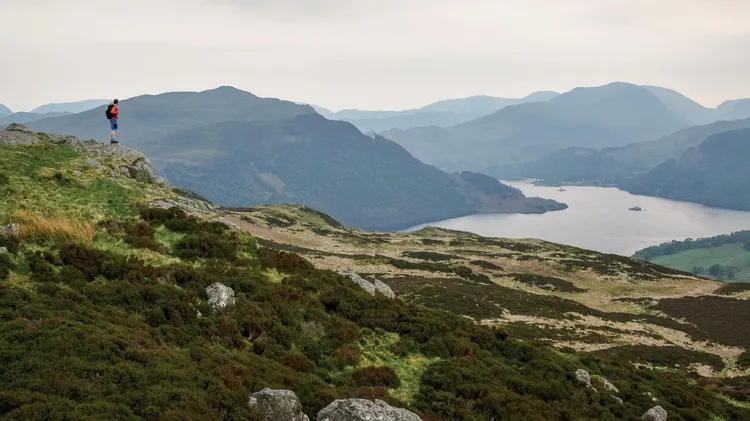
We love exploring new countries in our ’van, but are creatures of habit where winter is concerned, heading straight for Spain. We love walking, and its southern mountains are perfect for (mostly) care