Europe
Asia
Oceania
Americas
Africa
GEAR DISSECTED
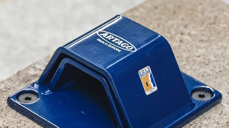
OUR FAVOURITE FIVE
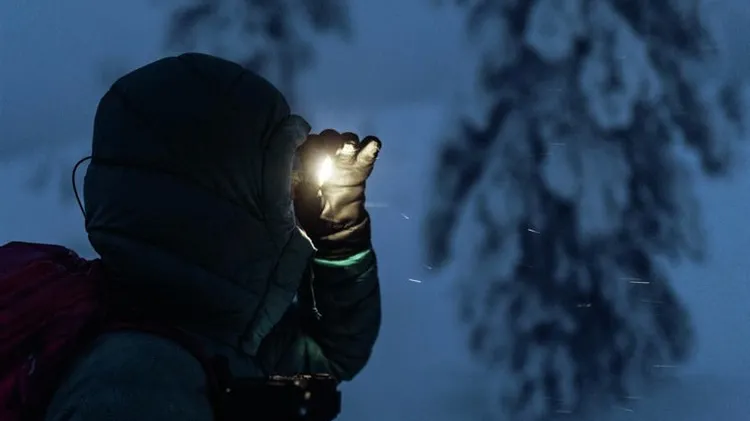
Paths can be obscured by sno
From binocs to balms, comfy seats to crunchy snacks: a celebration of little treats that make all the difference.
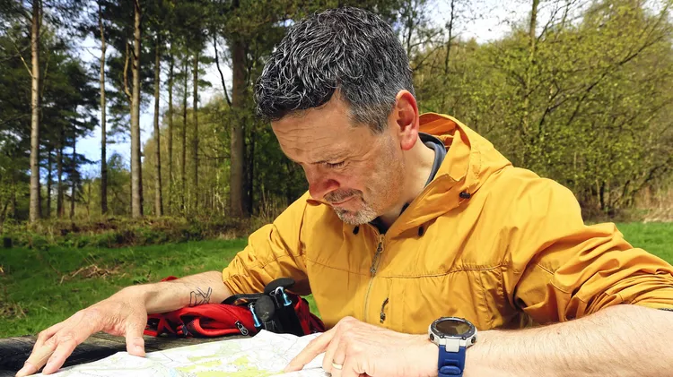
We’ve been busy testing in the past year. Here is what we’ve found that works
MASTERCLASS
The nights are fair drawing in so it’s over to James Roddie to shed some light on the situation
Tackled one of the routes published in Country Walking? Send us a picture and a few words on your experience: you could win a fantastic prize from Ordnance Survey.
From selecting a route to assessing avalanche risk, Alex Roddie shares the skills that every new snowshoer needs to know