Europe
Asia
Oceania
Americas
Africa
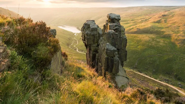
The Goathland waterfalls walk is a North York Moors class
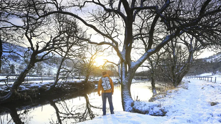
Winter walks aren’t always how you imagine them to be. Sometimes they’re a hundred times better – even more so if you make a weekend of it.
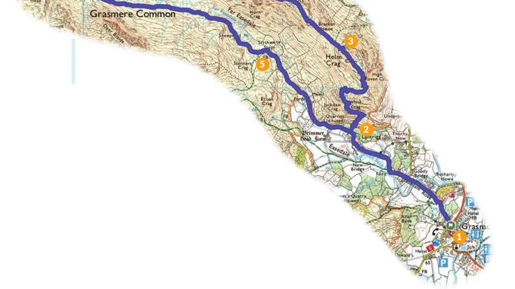
Our walks is mon 1 Bruach na Frithe ...
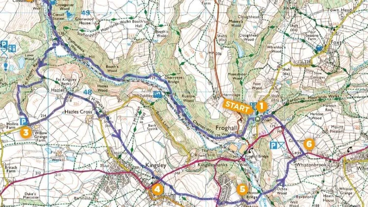
■ Distance: 6¾ miles/11km ■ Time: 4 hours ■ Grade: Challenging
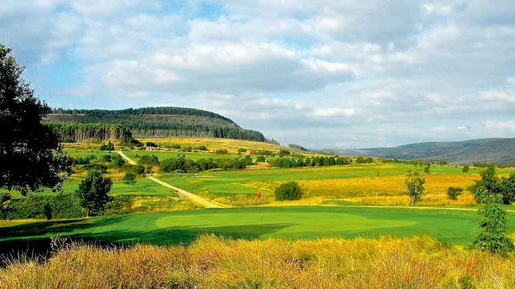
While links and heathland golf may dominate our course rankings, moorland terrain provides a wonderful setting for atmospheric and engaging golf
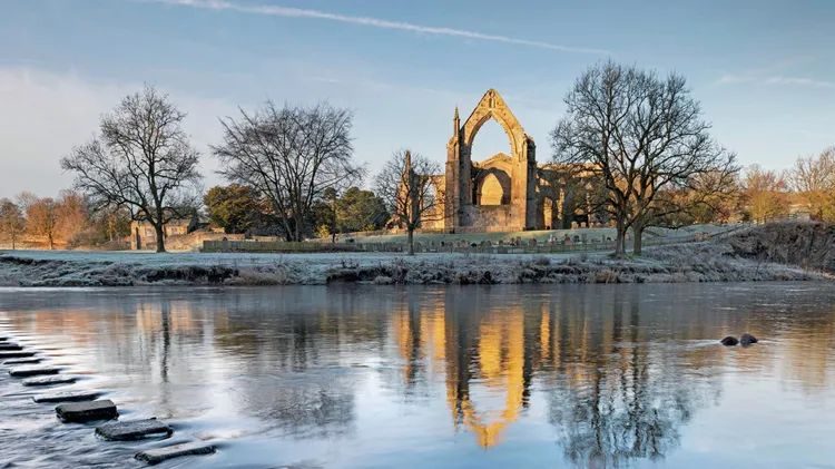
Christine Faughlin sings the praises of a converted chapel on the 30,000-acre Bolton Abbey estate in the Yorkshire Dales
■ Distance: 7½ miles/12km ■ Time: 5 hours ■ Grade: Moderate