The Motorhomers’ Magazine – MMM
A special corner of exmoor
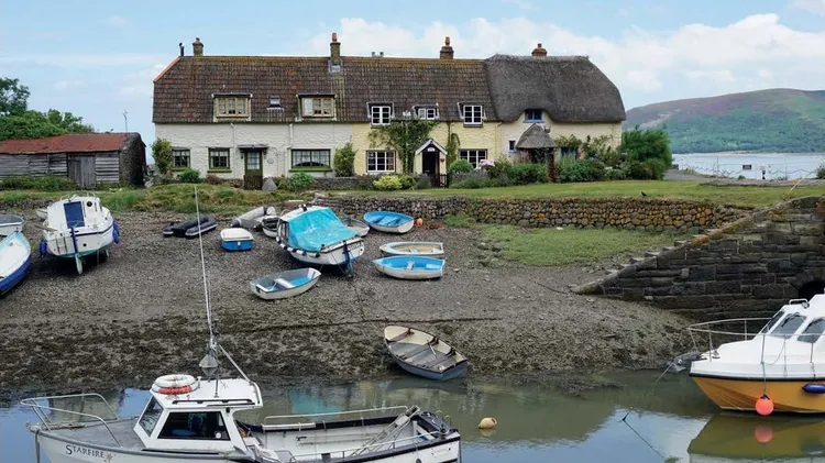
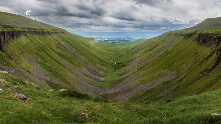
If we had to choose our “special place”, Andy and I would always choose Exmoor National Park. It’s a place we often escape to. Straddling the Somerset/Devon border, Exmoor’s coastline is littered with